


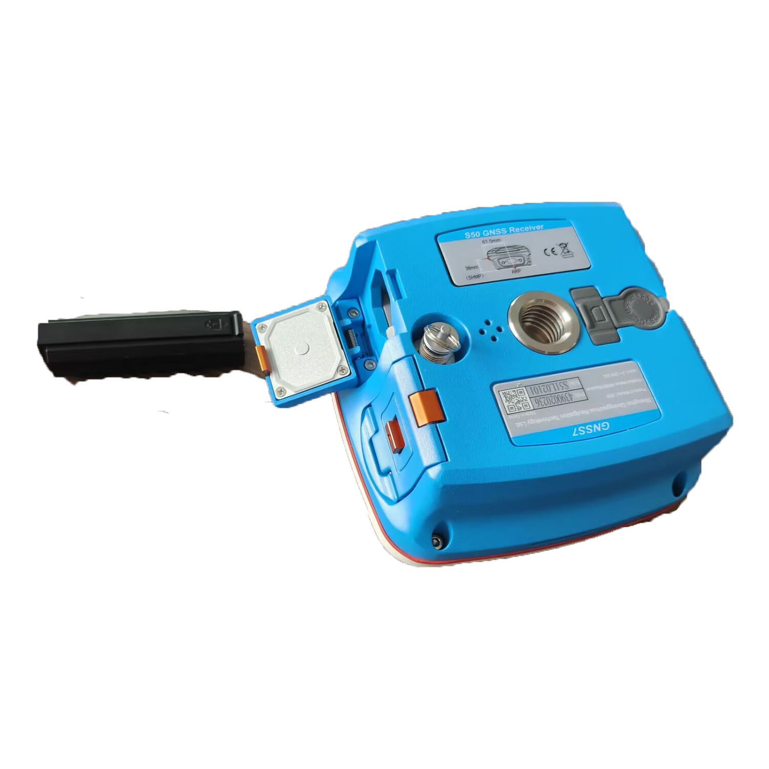


Product Introduction
Compatible with most of Android devices Easier survey workflow via Wizard function Support up to 60° IMU tilt compensation Support all survey modes, including Static, PPK and RTK Support Surface Stake, Mapping Survey and etc. to serve various survey tasks Support CAD import and directly use for stake out operations Support Convert function from ComNavBinary raw file to RINEX
Provide the complete GPS/GLONASS/BeiDou/GALILEO post-processing solution Support GNSS observation data in RINEX and ComNav Raw Binary Data format Support different post-processing in static and kinematic modes Output analysis reports in various formats (web format, DXF, TXT, KML) Supports DJI’s P4R data format. Processing results can be imported into photogrammetry and 3D modeling software directl